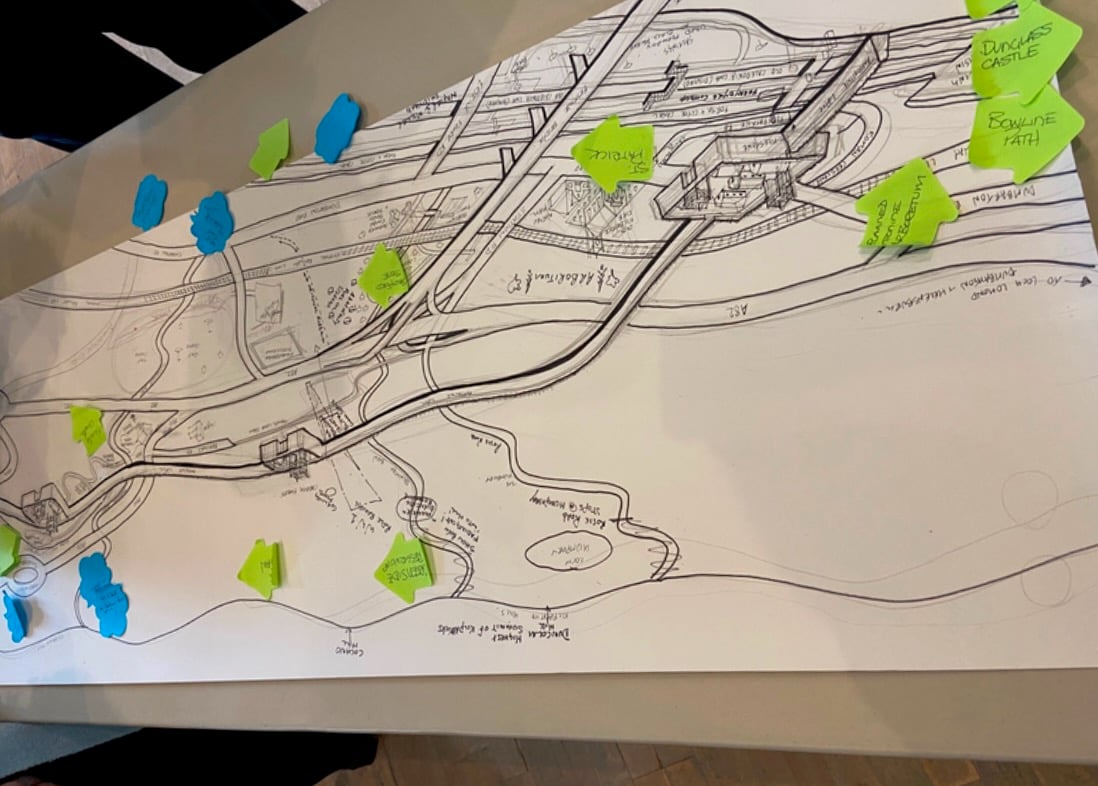
The Antonine Wall Community Map features points of interest along the wall between Old Kilpatrick and Duntocher and is the perfect companion for short wanders or longer walks.
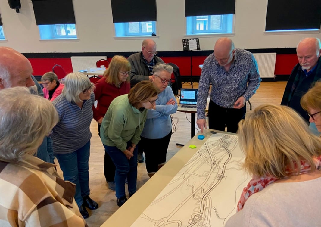
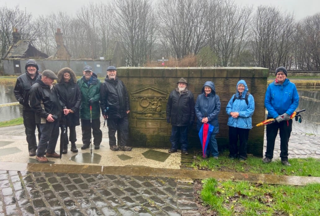
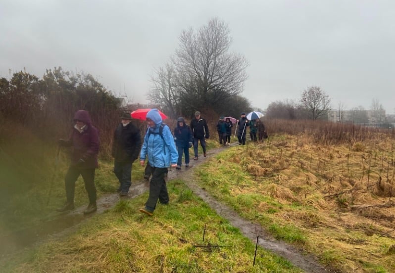
The map was created in conjunction with a group of community members aged over 60 years, all who live locally to the Wall. The community members were invited to attend workshops where they learnt more about the wall, shared their own stories, and participated in creative activities. Participants also went on two guided short walks around the section of the wall. It was from this participatory activity that the map was then created in partnership with local artist Neil Thomson.