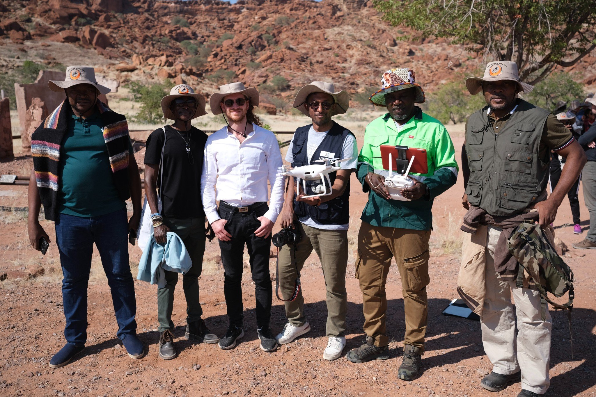
In early June, I was invited to travel to Windhoek, Namibia, for Digital Technologies to Empower World Heritage in Africa - a conference and workshop supported by the Government of Flanders (Belgium) and co‑hosted by the National Heritage Council of Namibia and UNESCO. The activity was organised on the sidelines of the development of the World Heritage Online Map Platform.

Case Study: Open Tools, Shared Heritage: Building meaningful collaboration around digital technologies and data sharing
July 1st 2025, by Matt Rabagliati, Head of Policy, Research, and Communications

Sharing knowledge across the continent
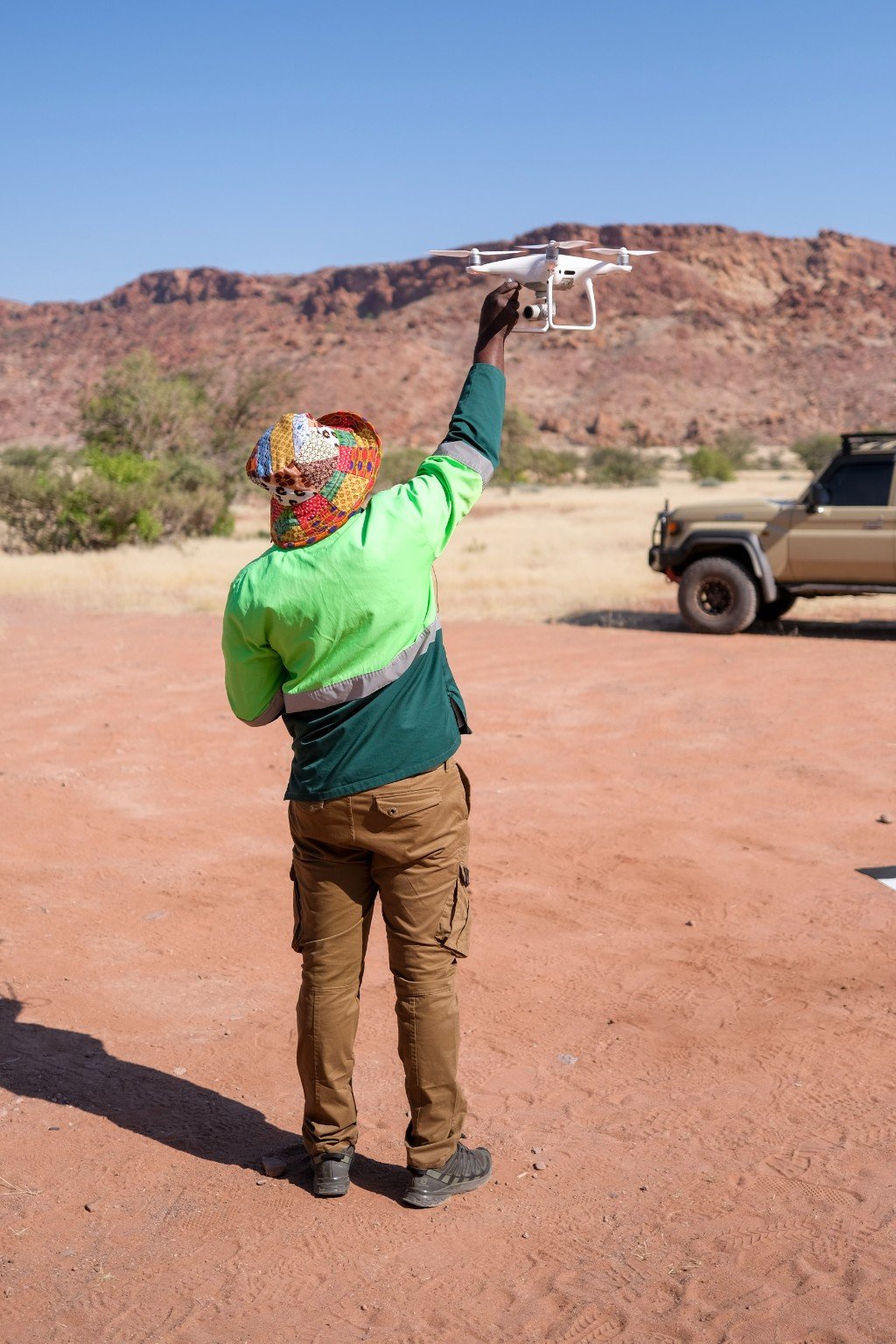
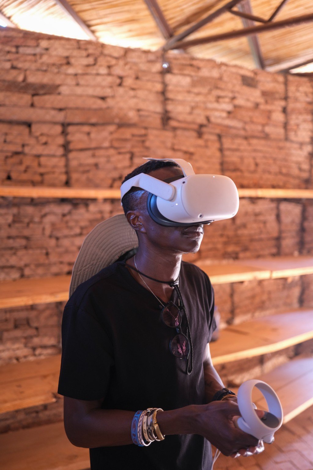
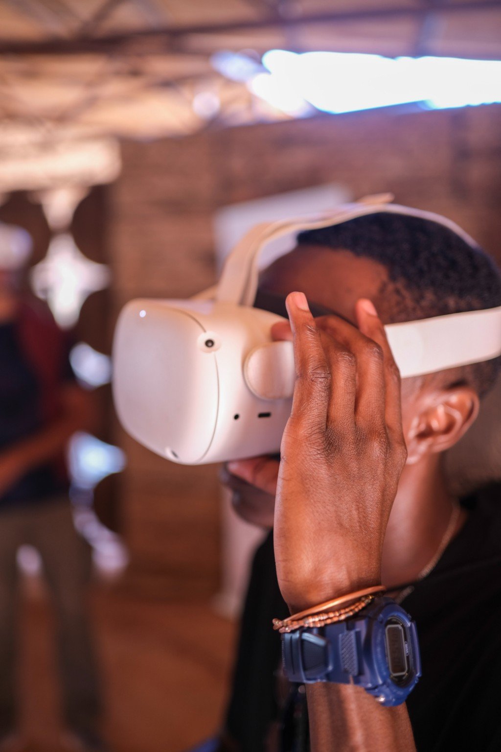
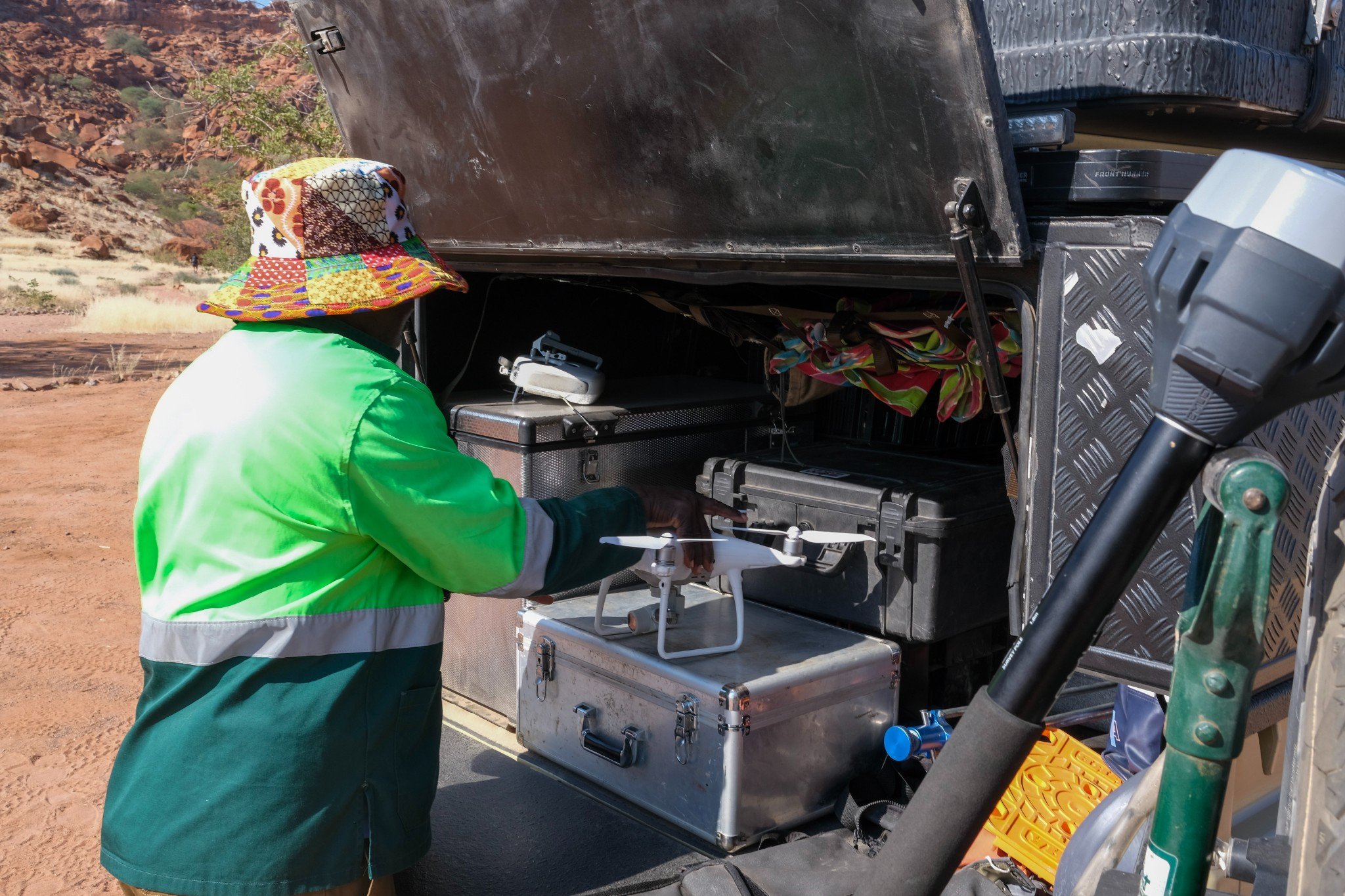
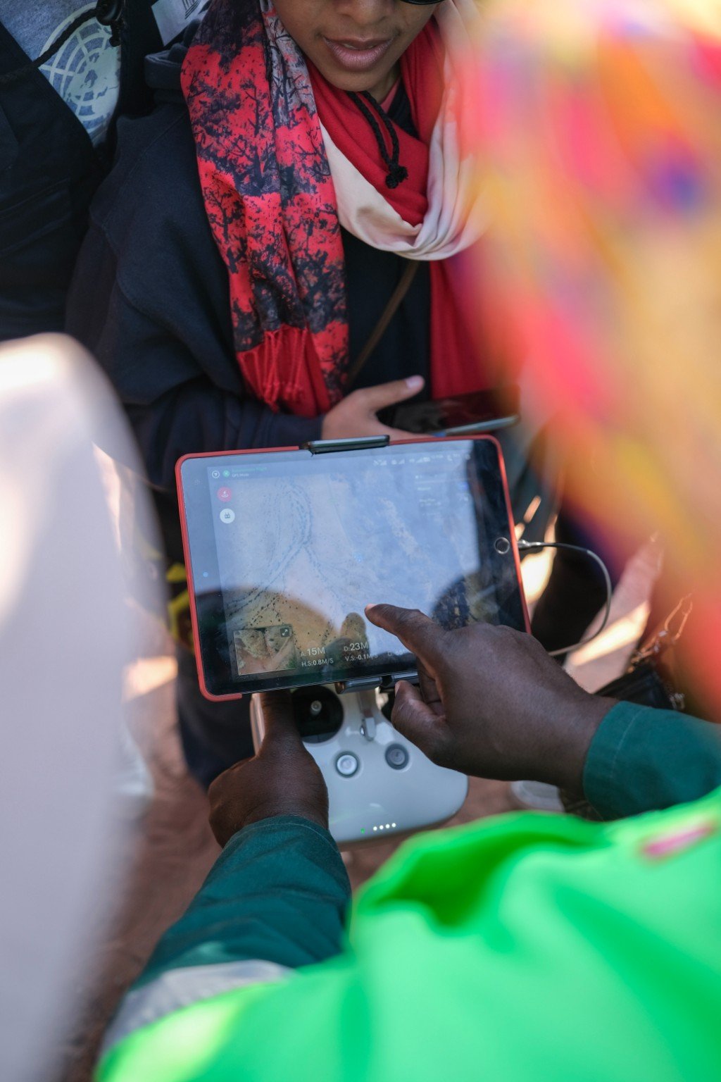
The Digital Technologies to Empower World Heritage in Africa event brought together site managers, technologists, and policymakers from across the continent - Kenya, Cameroon, Côte d’Ivoire and beyond - to explore how a range of digital technologies, from drones and camera traps to immersive storytelling and data dashboards, can support the management of natural and cultural heritage. Case studies from Site Managers across Africa and Europe illustrated how these technologies are helping to address and plan for the pressures of increased rainfall, drought, poaching, and deforestation.
UNESCO also presented the World Heritage Online Map Platform (WHOMP), an ambitious international platform that aims to combine global datasets so that anyone, anywhere, can understand the multiple challenges facing the world’s 1,200+ UNESCO World Heritage sites, as well as other UNESCO designated sites.
Presenting UKNC Climate Change and UNESCO Heritage Project
I was invited to participate in the conference to present the UK National Commission for UNESCO and the Department for Culture, Media and Sport’s Climate Change and UNESCO Heritage (CCUH) project, funded by HM Treasury’s Shared Outcomes Fund. Over the past 18 months, we’ve worked with UK Government departments, public bodies, and three UNESCO pilot sites - North Devon Biosphere Reserve, Fforest Fawr Global Geopark (Wales), and Hadrian’s Wall World Heritage Site - to co-design open-source GIS tools, data catalogues, and threat-assessment dashboards. These tools are helping sites better understand their audiences, bring fragmented data together, spot common threats, and most importantly, share solutions with and between each other to address the accelerating and interconnected impacts of climate change.
The aim is for these tools to support UK sites and a global network. UNESCO designations cover around 15% of the UK’s landmass and are home to 9 million people. Globally, the network spans ten million km2 and is home to hundreds of millions. By being grounded in their communities, multi-stakeholder partnerships, and conserving and protecting outstanding cultural and natural heritage, they are ideal places to pilot and share place-based climate adaptation strategies between communities and people.
What struck me most in Namibia was how often the same challenges surfaced across the UK and Africa. These included:
- human and financial resource gaps
- siloed and inaccessible data (at national and local levels)
- the difficulty of balancing short-term pressures with long-term vision
- and the scale of interconnected threats from a changing planet
Across the conference, one theme emerged consistently: addressing the challenges we face is not just a technical task. It’s a deeply cultural, social, and human one. Tools must be built with and for communities, or they risk being unused, misunderstood, or misaligned.
"Addressing the challenges we face is not just a technical task. It’s a deeply cultural, social, and human one."
Bringing the challenges into focus
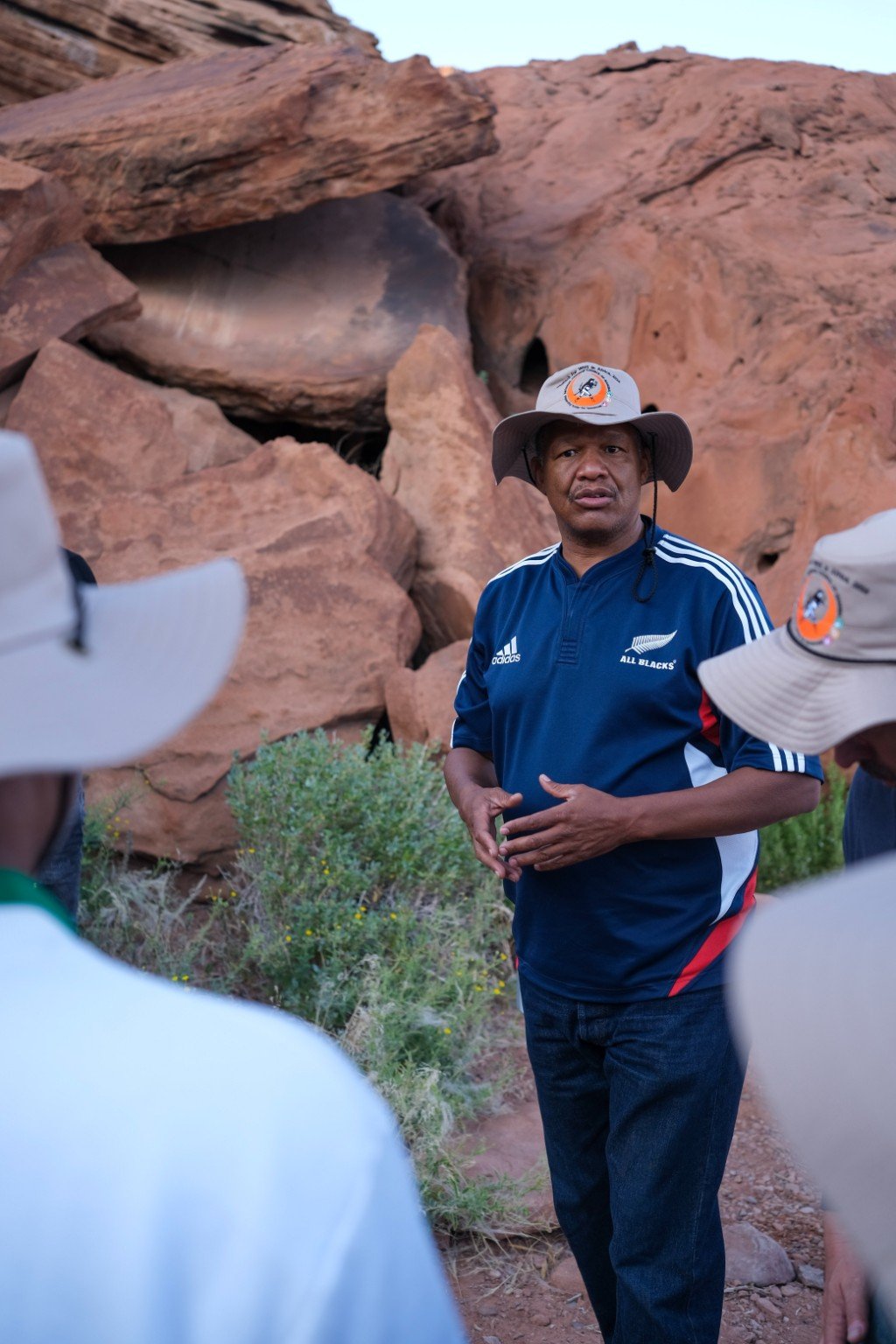
Delegates’ insights were brought into sharp focus during our field visit to Twyfelfontein UNESCO World Heritage Site, home to Africa’s largest concentration of petroglyphs (rock engravings).
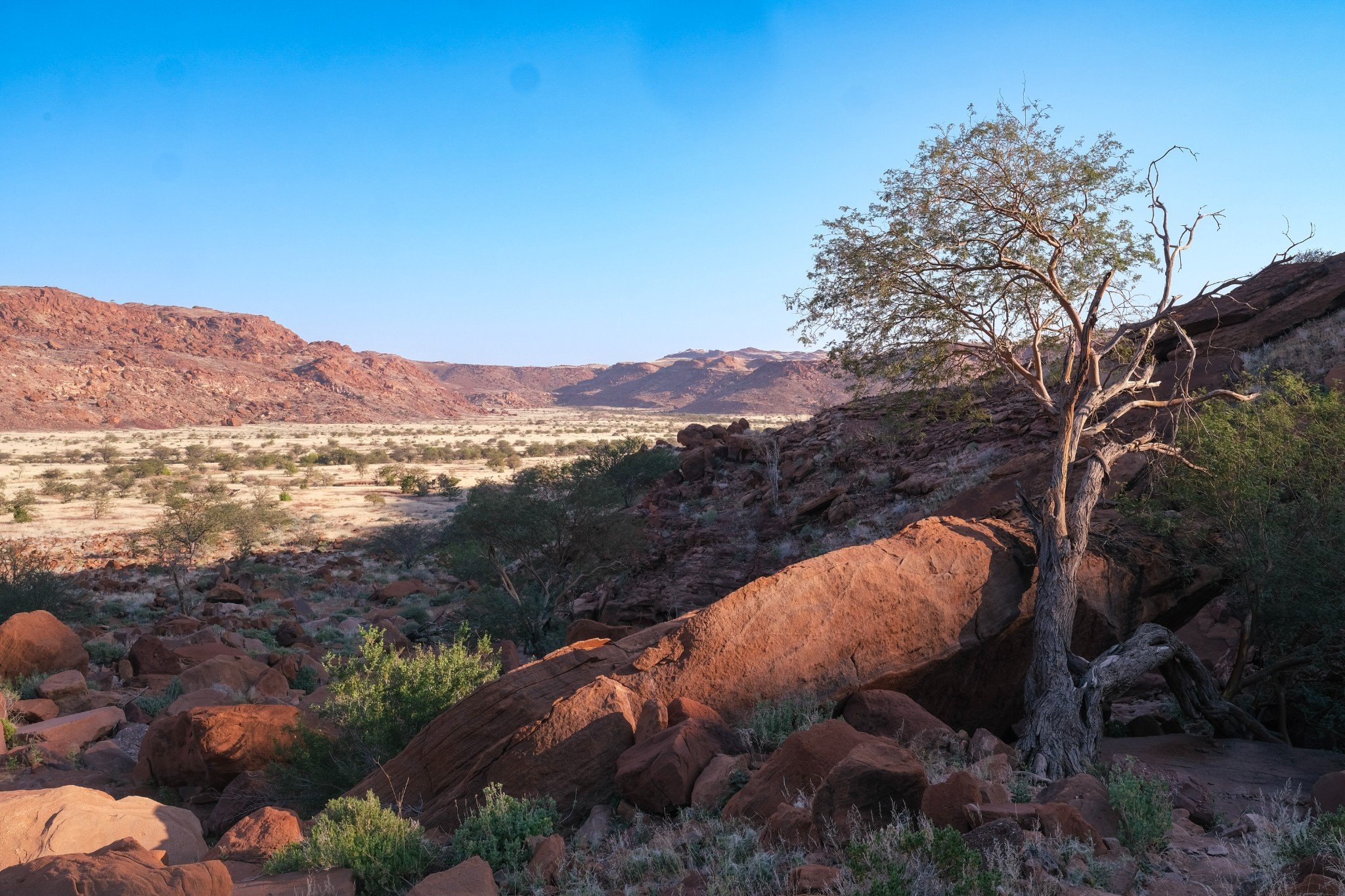
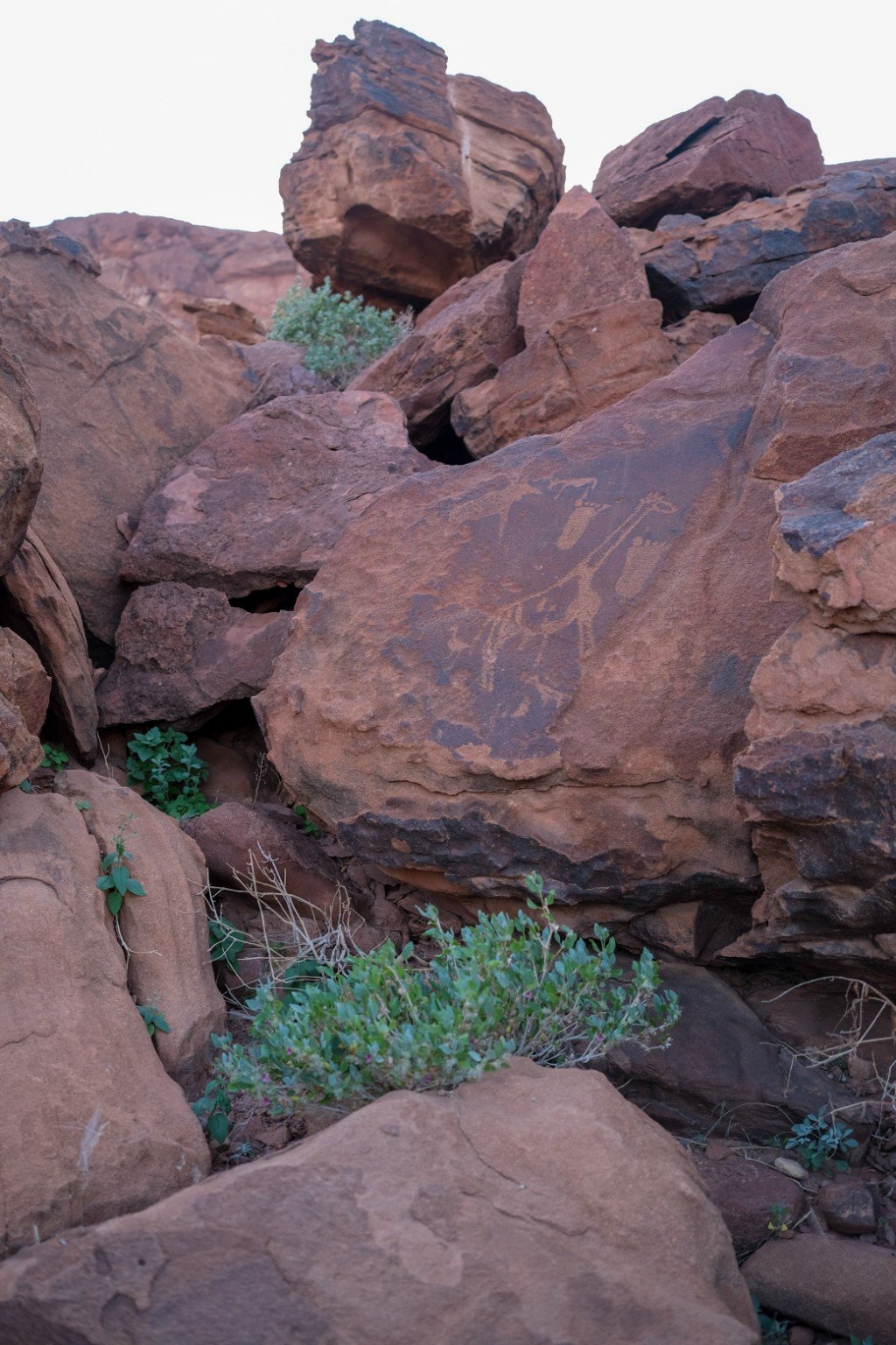

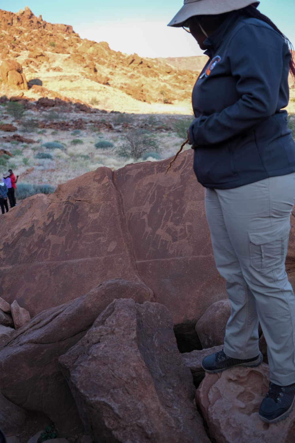
Situated in the Kunene Region of North-Western Namibia, the previously relative climatic stability and dry conditions have meant that the petroglyphs have remained well-preserved since many were engraved 5-10,000 years ago. However, increasing rainfall is accelerating erosion at an alarming rate, and there is a high risk that no engravings will remain within a few generations. Like many heritage sites worldwide facing similar challenges, the World Heritage Site Management team has moved beyond a "preservation-at-all-costs" mindset to an approach that accepts and prepares for inevitable change. Central to this approach is an increasing understanding of the role of digital technology.
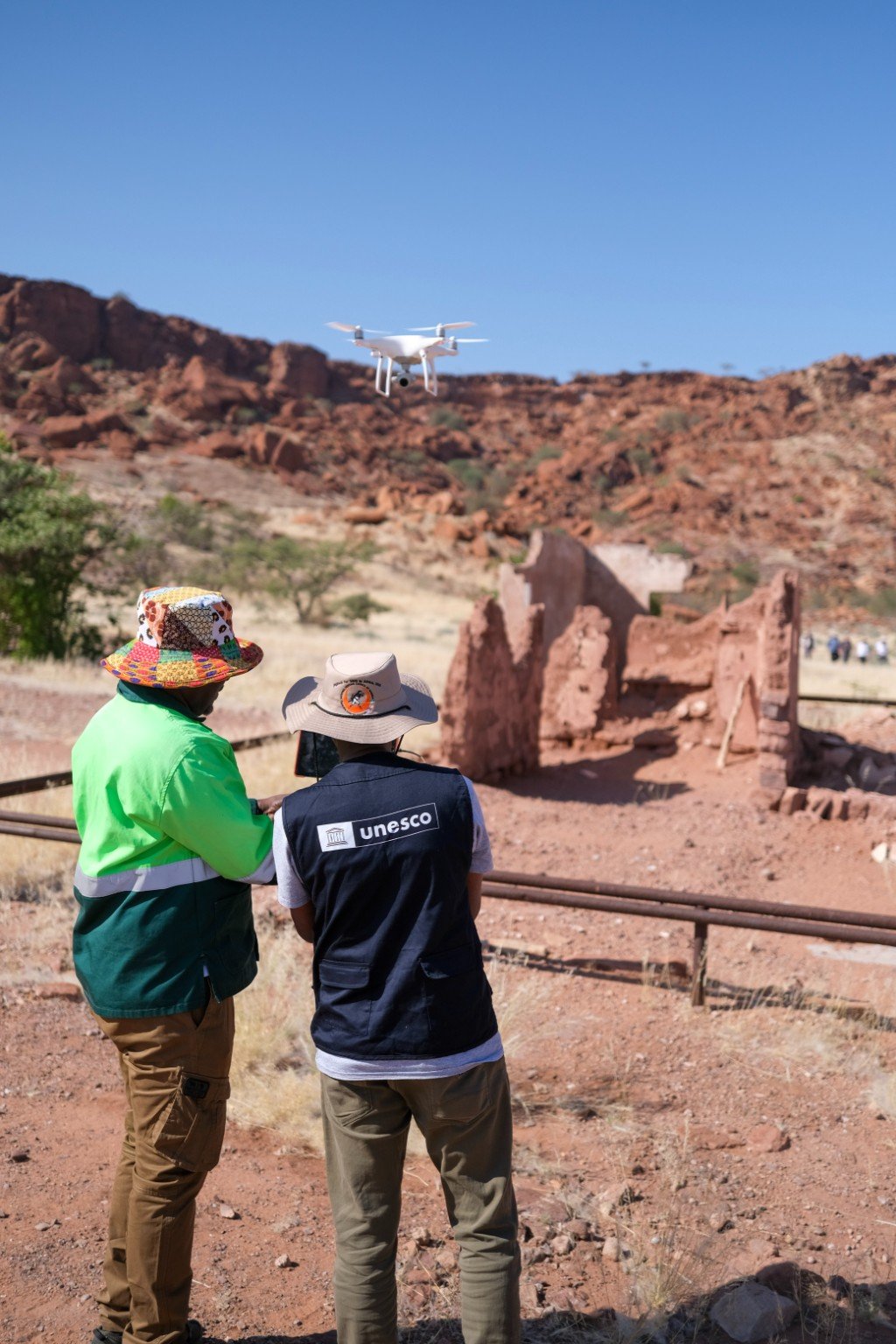
Instead of attempting to halt all deterioration, digital technologies are being explored to drive comprehensive documentation and digital archiving to create a record that can be preserved for future generations. Discussions include creating digital twins of the rock art, potentially collaborating with international academic institutions to project and better understand the timeframe for deterioration, and using advanced technologies like GIS and drones to monitor erosion.
Climate vs. economy - a trade-off?
The tension at Twyfelfontein is not only about climate. It’s also about the economy. As rainfall accelerates the erosion of the petroglyphs, the site faces a dual reality: it may not survive intact for future generations, yet it remains one of the region’s most important cultural and economic assets today. Tourism provides vital income for local communities and increasing visitor numbers could bring much-needed jobs and investment. But there’s a limit as too many visitors could hasten the very erosion the site is already facing. The current threshold is estimated to be around 100,000 visitors per year, beyond which the integrity of the engravings could be compromised.
This creates a powerful dilemma: if the engravings will eventually disappear, should communities maximise their economic benefit now or protect them for as long as possible? It’s a global dilemma facing many sites, revealing why adaptation cannot be purely technical. It requires honest and inclusive dialogue about trade-offs.
Different continent, similar challenges
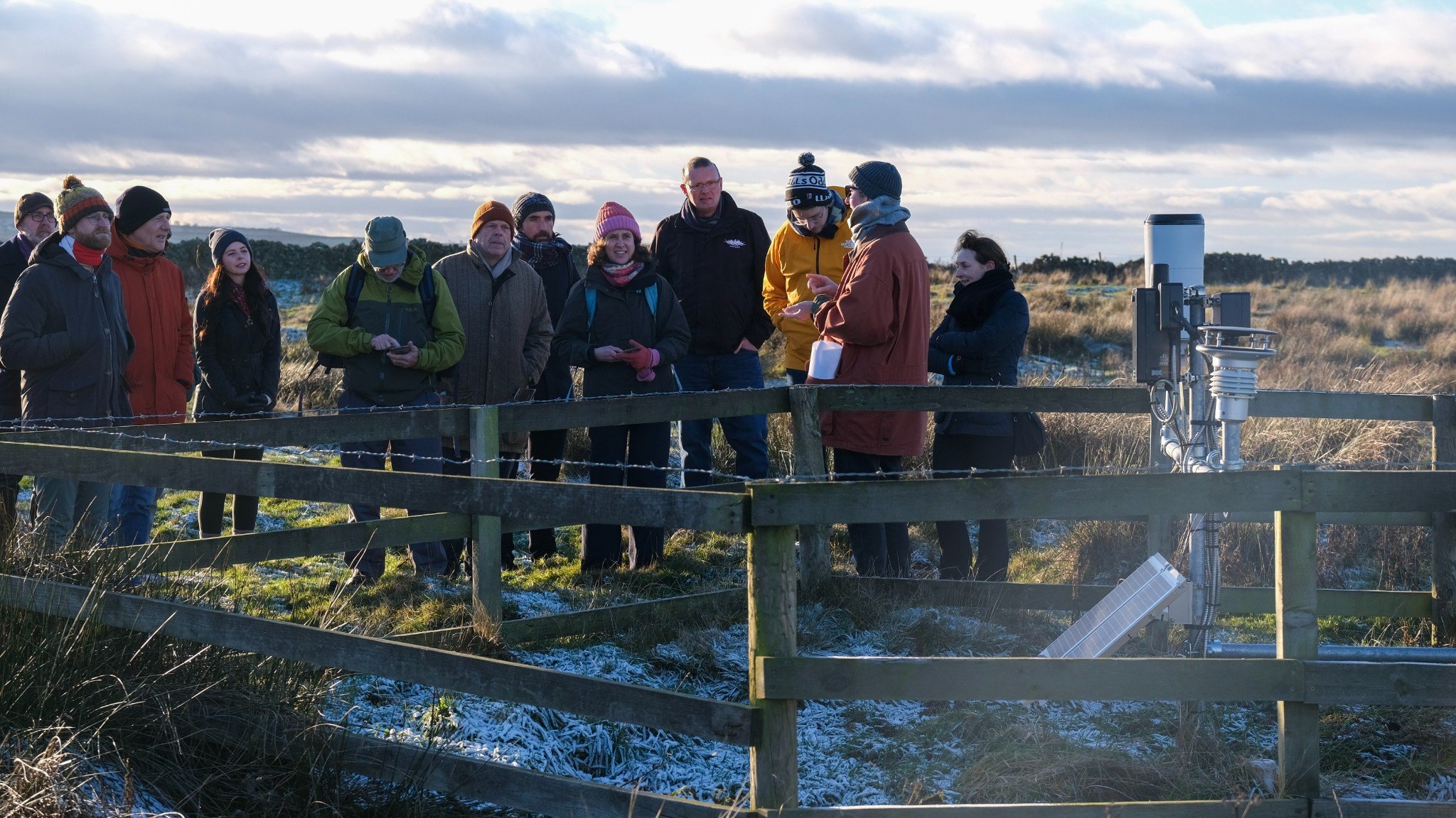
A similar tension was observed during a visit by the CCUH Team to Vindolanda, part of Hadrian’s Wall UNESCO World Heritage Site in the north of England, in November 2024. A former military camp, Vindolanda is extraordinary not just for the scale of its Roman ruins, but for the remarkable preservation conditions of its sub-soil. In the anaerobic layers, archaeologists and volunteers have uncovered hundreds of writing tablets, leather shoes, and even personal letters, offering an unparalleled and intimate glimpse into Roman life. However, changing weather patterns - intense rainfall and then extreme heat - are now drying out the soils, and are breaking down organic materials that have been preserved for nearly two thousand years. What was most sobering is that the turning point didn’t happen last year, or even five years ago - it was likely in the early 2000s.
Like in Twyfelfontein, communities and the site are now exploring the role of digital technologies. The installation of new monitoring stations, supported by the National Lottery Heritage Fund and run by the Vindolanda Trust, is measuring structural shifts in the soil and tracking ongoing deterioration.
Navigating loss and change - a shared challenge

How we navigate loss and change to our cultural and natural heritage, which often underpins local and national identity, will be a shared challenge between the UK and international partners in the coming decades.
What became clear in Windhoek is that UNESCO sites have the potential to be platforms for genuine mutual learning, not pipelines to export one-way expertise.
Future collaborations between the UK and partners across Africa could build on programmes like the UK Government’s Cultural Protection Fund, or the National Trust’s partnership between Fountains Abbey and Studley Royal and the Rwenzori Mountains World Heritage Sites in Uganda. These models demonstrate how heritage sites can be platforms for exchange between communities and experts. In terms of research, they could also learn from the AHRC-German Research Council Estosha-Junene project which exemplifies mutual learning between Europe and African research communities, and produces tools and partnerships that inform both local resilience and international policy.
And lastly, Namibia taught me that accepting change is not the same as giving up; it starts a shared conversation about how we can do things differently together.
Data can play a powerful supporting role in that conversation. It can help monitor deterioration, support preservation efforts, and offer communities tools to plan for the future. But its value also depends on the systems, relationships and assumptions we build around it. If we start with the understanding that change is inevitable, data not only becomes a tool of measurement, but a means of supporting adaptation, transparency and difficult real-world decision-making. If we use it wisely, it can help us move from simply recording loss to enabling shared decisions about what to protect, what to let go, and how we can work to face this future together.
The Climate Change and UNESCO Heritage Project will end in June 2025. We will be launching tools and more information in late-Summer/Autumn 2025.
More information on the Climate Change and UNESCO Heritage Project
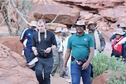
Matt Rabagliati (pictured above, left) is Head of Policy, Research, and Communications at the UK National Commission for UNESCO.