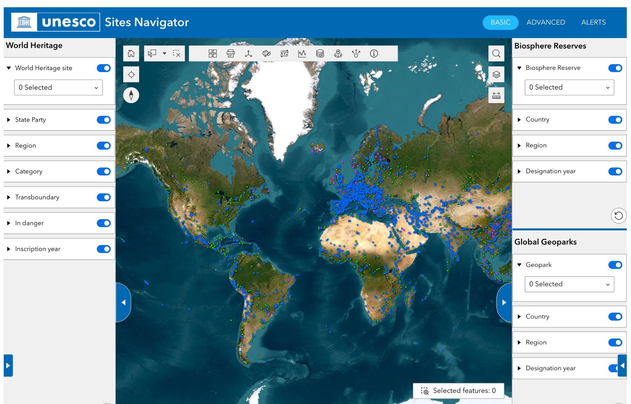
The online GIS tool harnesses remote sensing, satellite data, and other georeferenced datasets to support improved monitoring of UNESCO designated sites, including insights related to climate change and biodiversity loss.
Developers have added several new capabilities aimed at supporting research and risk monitoring:
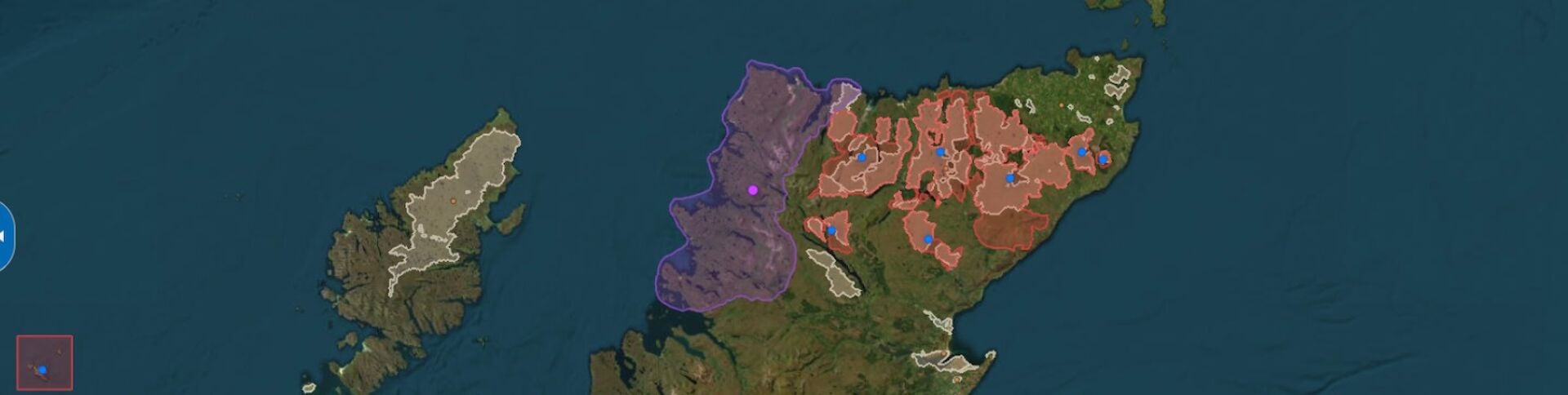
- A single interactive map visualizing UNESCO designated sites with their official boundaries (where available). This is useful for identifying multi-internationally designated areas (MIDAs).
- Access to both static layers (e.g. land cover changes, coastal flood exposure, IPCC’s mean temperature and precipitation projections for 2050, global distribution of coral reefs, seagrasses, glaciers, etc) and near real-time monitoring layers (e.g. fire, flood, earthquakes, tsunami alerts, daily coral bleaching).
- A new alerts system (currently active for World Heritage sites) that daily flags possible hazardous conditions based on remote sensing data, with plans to extend it to all designations.
The interface remains a work in progress, with potential for further improvement. The development team is committed to refining its design and functionality while integrating more relevant datasets. Feedback and suggestions are highly valued and can be shared with them at [email protected]