Fforest Fawr
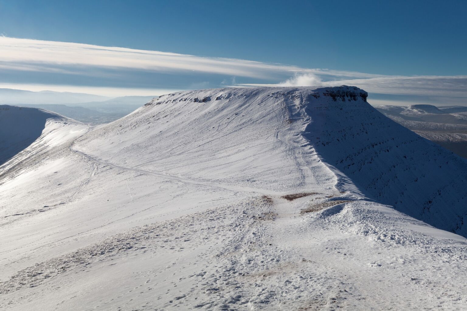
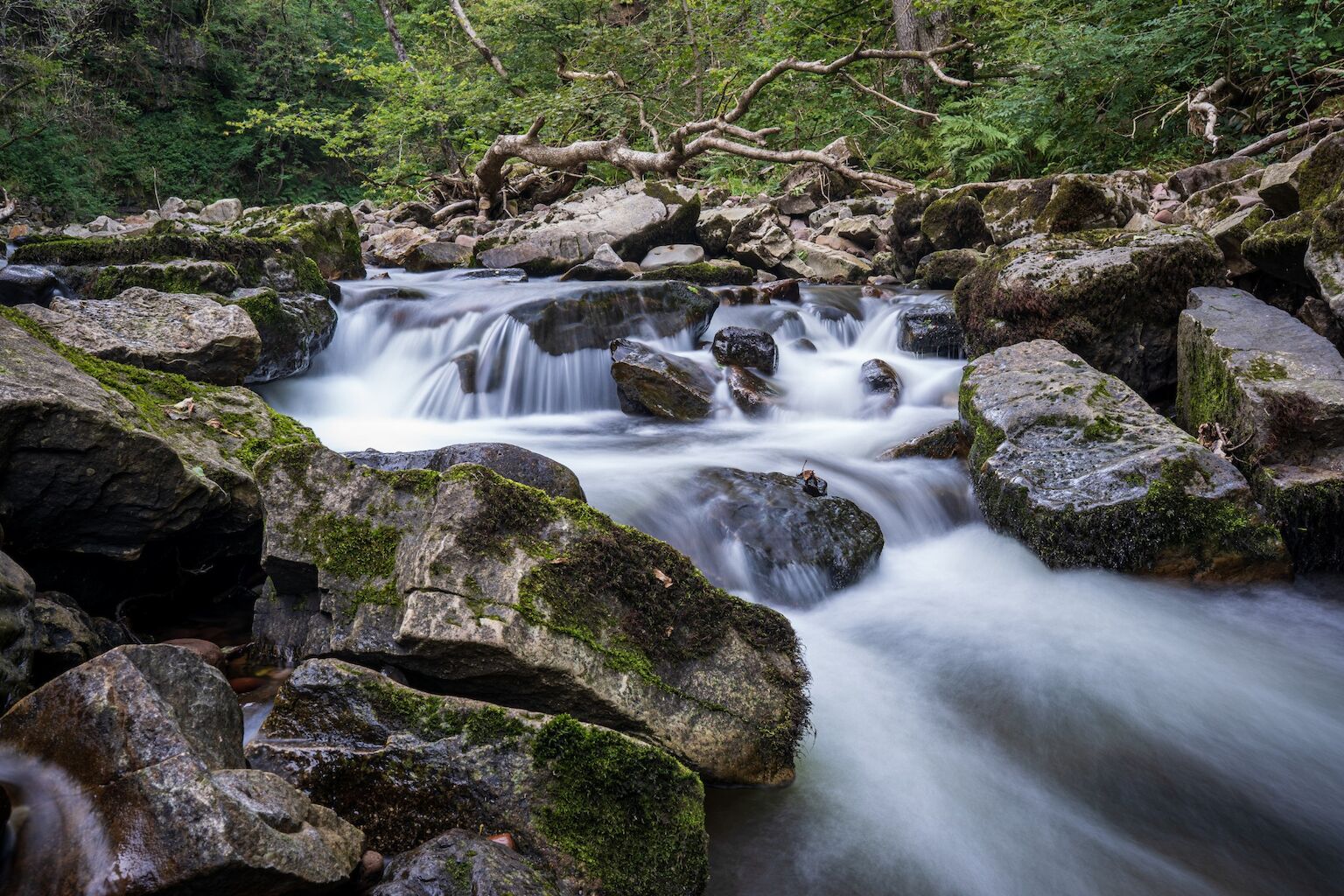
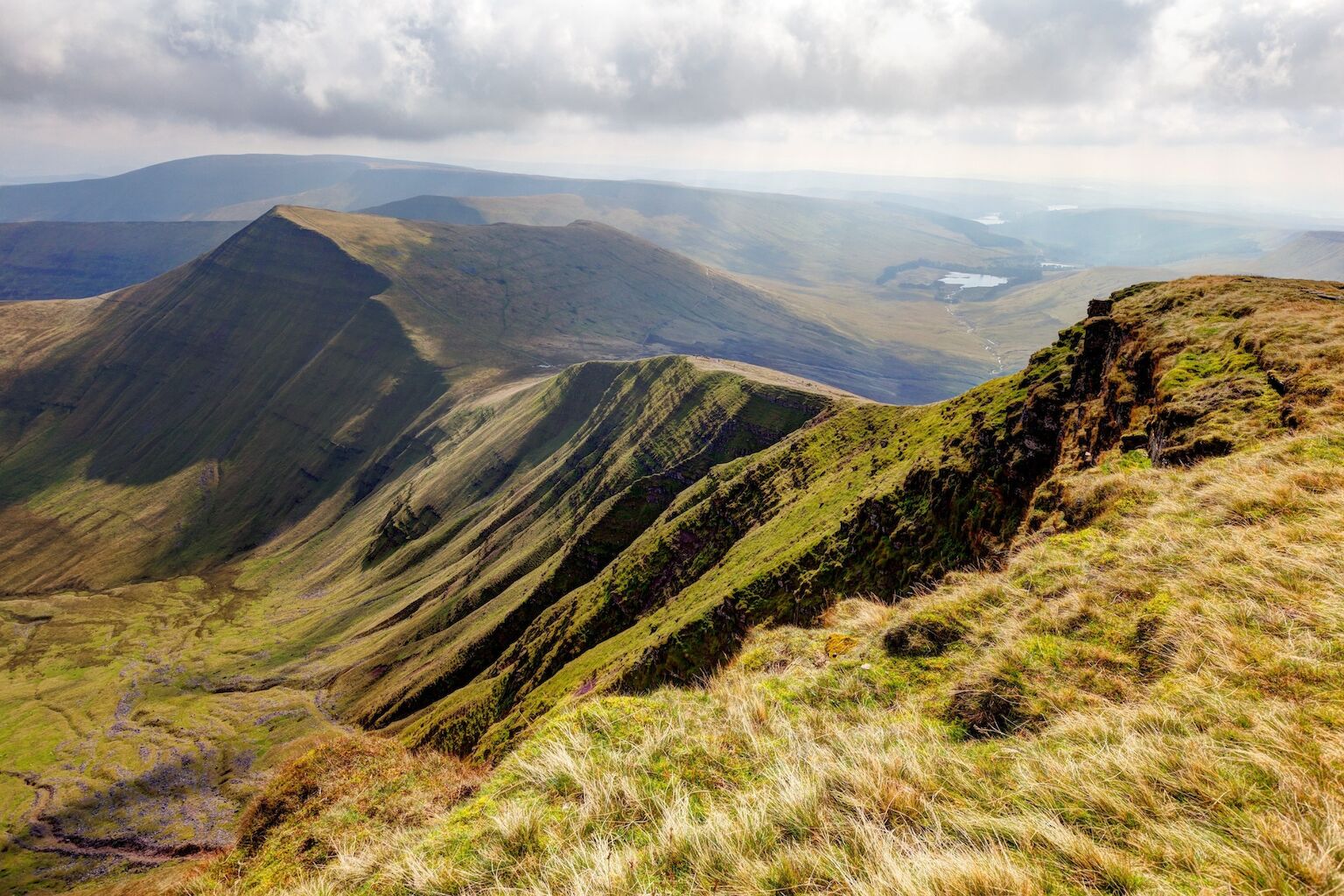
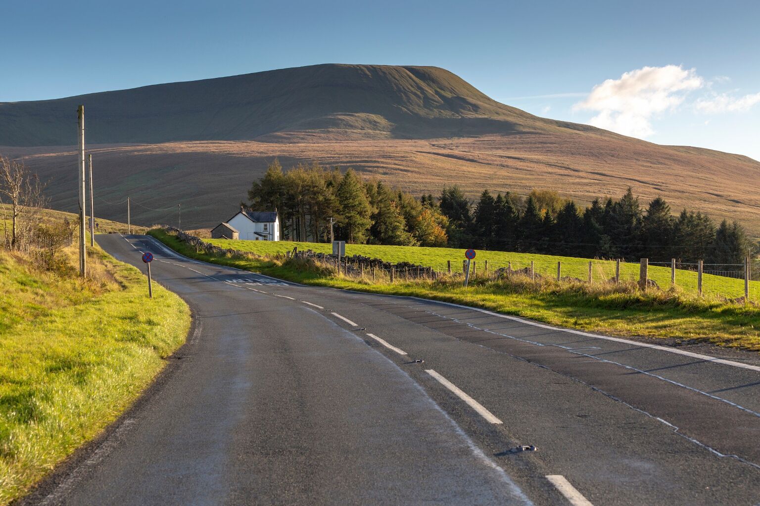
Fforest Fawr Geopark is situated in the western half of the Bannau Brycheiniog (Brecon Beacons) National Park and spans the transition between rural and agricultural mid Wales and the industrial valleys of south Wales. The geopark’s diverse landscapes, including heathland, valleys, forests, lakes, waterfalls, and caves, are appreciated for their openness and wilderness appeal. The geology tells the story of ancient climate change, mountain building and sea level changes.
What makes this UNESCO Designation special?
Fforest Fawr Geopark is characterised by the strong association between its geology, nature, and Wales’s cultural and industrial heritage. The modern landscape is the product of the interaction between human activity and a topography sculpted by glaciers during the last Ice Age.
The nature of soils derived from the underlying 470 million years sequence of marine and terrestrial strata is reflected in the exceptional nature of the geopark’s flora and fauna.
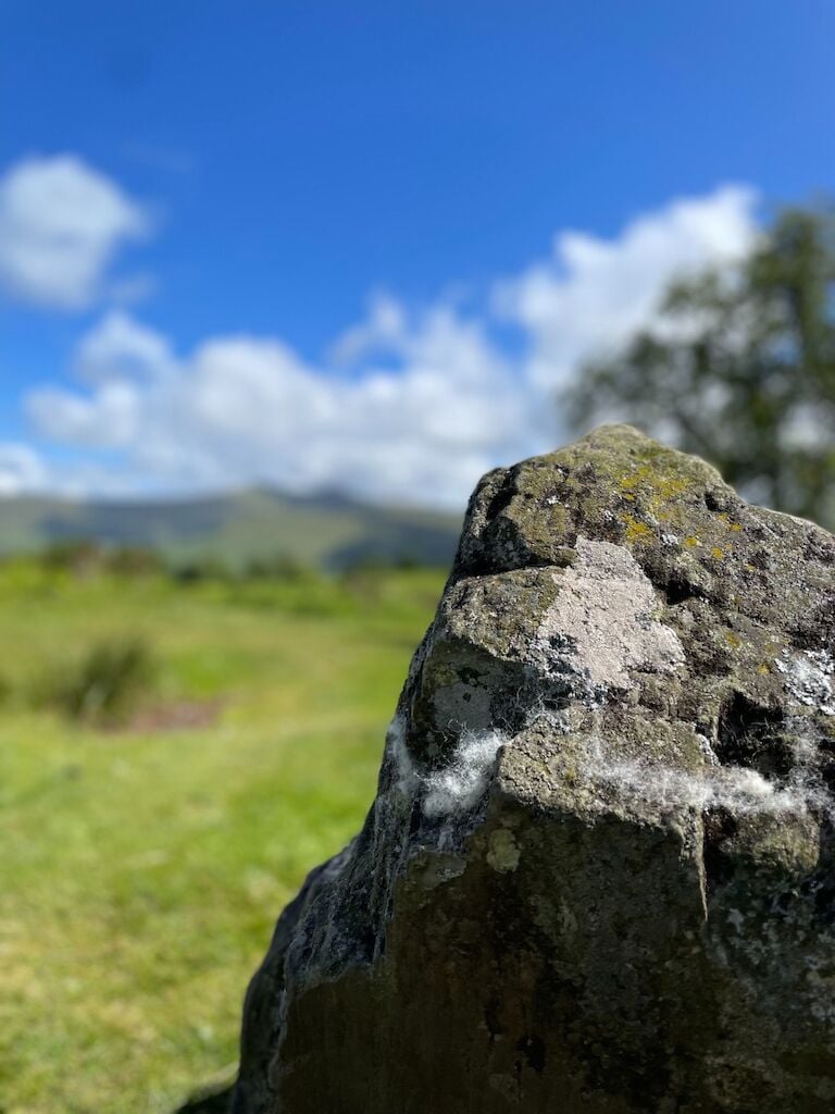
Karstification of the Carboniferous Limestone has given rise to some of the UK’s longest and deepest cave systems and extensive doline fields. Between 28,000 and 11,700 years ago, sculpting of the area by ice created the landscape in which upland and lowland environments now reflect the histories of human activity. The rich culture of the area’s early inhabitants comes to life in myths and legends associated with features in the landscape. Culhwch ac Olwen or the Twrch Trwyth, the first record of an Arthurian Romance, is associated with the River Twrch. Stone circles, hillforts, Roman sites, medieval castles, and ancient churches are the rich legacy of ancient lives.
Weathered and overgrown abandoned quarries, brickworks, limekilns, and elements of a transport system are the relicts of the exploitation of the area’s geology in an industrial age. They are now an integral part of the Geopark’s beautiful and dramatic landscape.

