North Pennines
A National Landscape (formerly ‘Area of Outstanding Natural Beauty’) as well as a UNESCO Global Geopark, the North Pennines covers almost 2,000km2 of some of England’s remotest countryside. The National Landscape and UNESCO Global Geopark designations are overseen by a dedicated team of 60 people, with a mission to recover nature and engage people more deeply with their nature and heritage.
What makes this UNESCO Designation special?
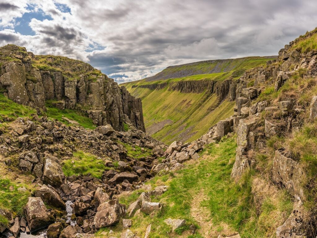
The North Pennines is a beautiful upland area in the north of England, with peatlands, hay meadows and tumbling rivers, star-filled dark night skies, and of course a world class geological & mining heritage. In spring and summer, the highlights are the breeding wading birds, hay meadow flowers and arctic-alpine plants. In autumn the night sky is the star, whilst the outstanding geo-heritage is there to enjoy all year round.
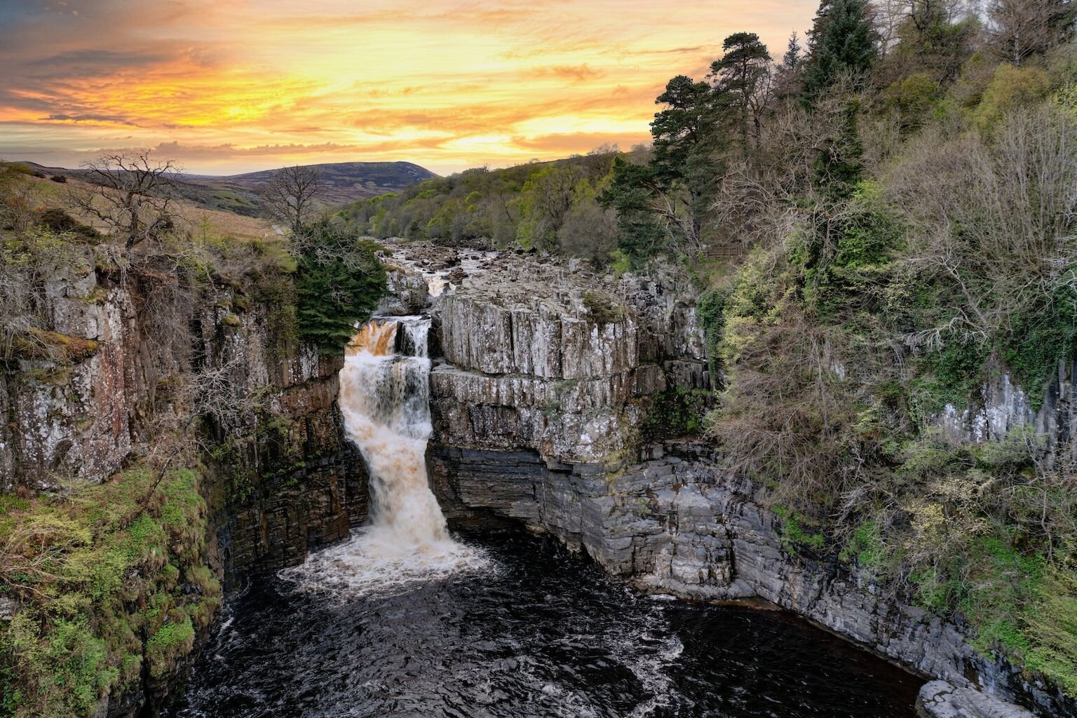
There are thousands of kilometres of footpaths and bridleways to explore in the North Pennines, taking visitors to fantastic waterfalls such as Ashgill Force and High Force (England’s biggest waterfall), nature reserves including the RSPB’s flagship Geltsdale reserve, and historic sites such as Killhope Lead Mining Museum and Nenthead Mines.
Painted by JMW Turner, written about by WH Auden and Charles Dickens, this is the wild heart of the north of England.

