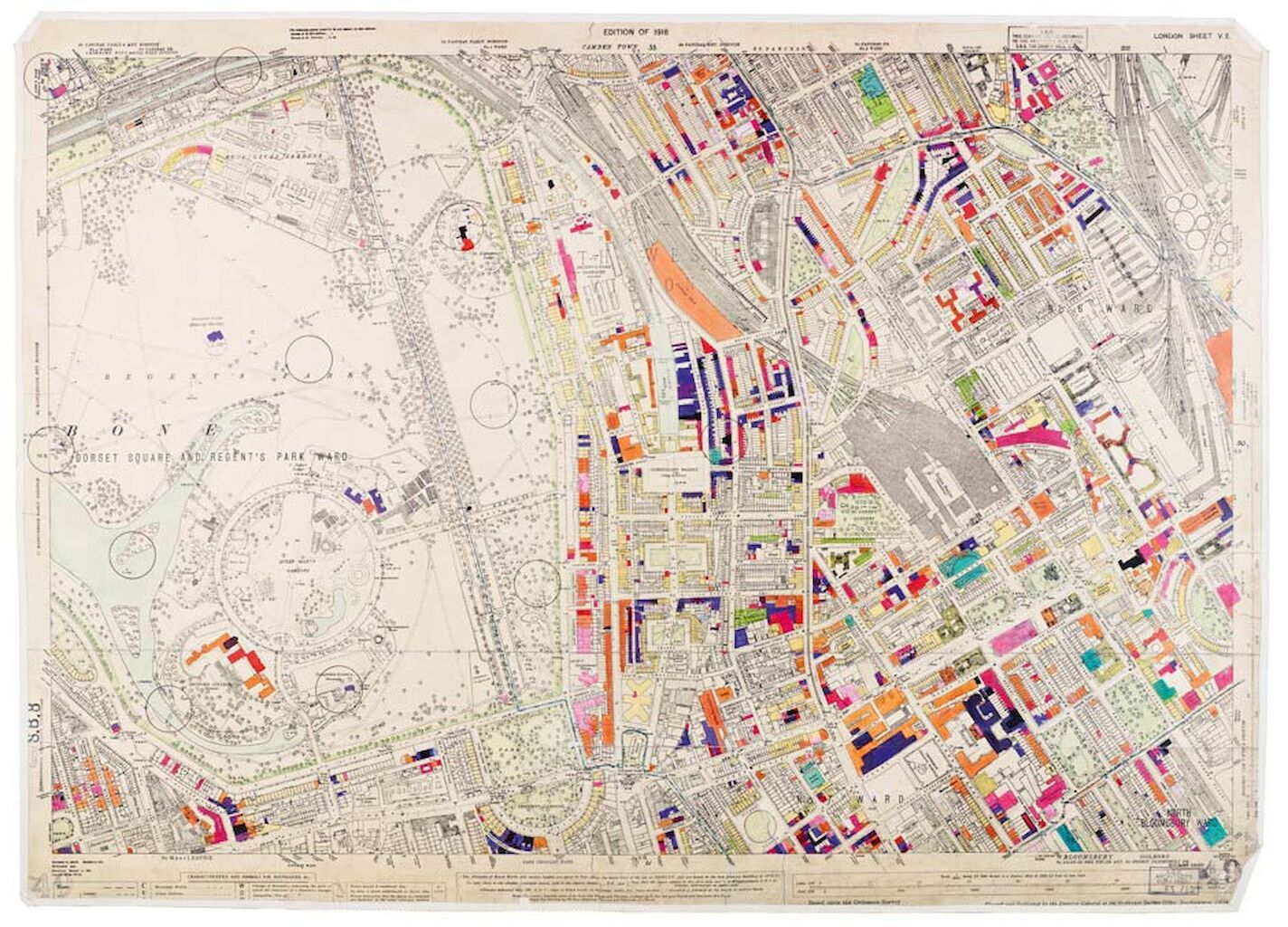
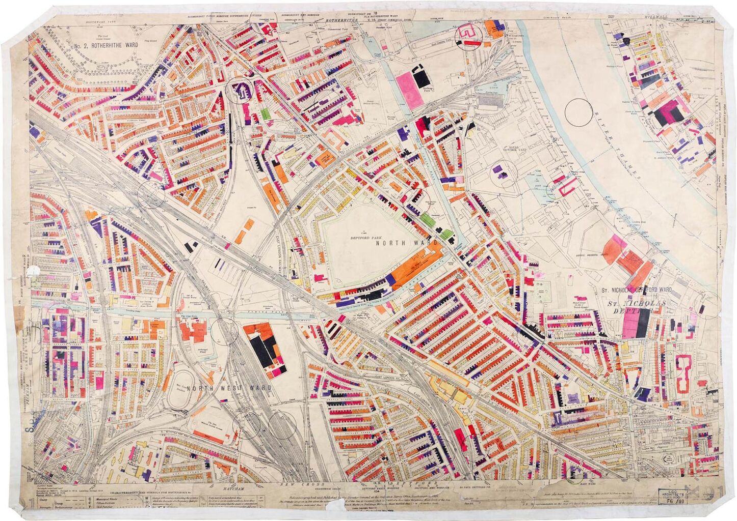
London County Council Bomb Damage Maps
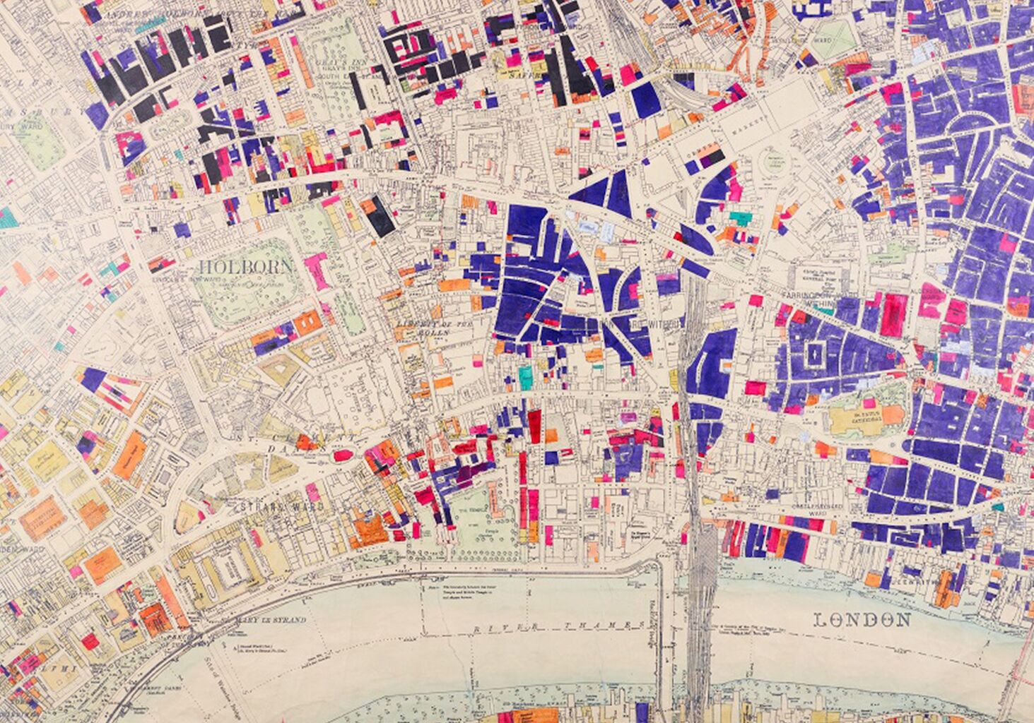
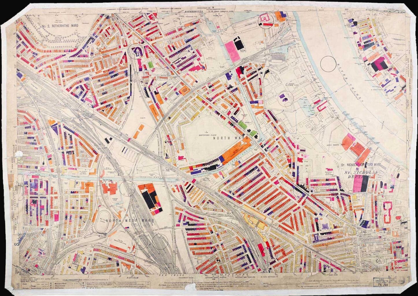
An extraordinary set of maps indicating, building by building, bomb damage in London during the Second World War. This is the most detailed record of damage to the capital’s built environment caused by aerial bombardment. An iconic and multi-layered source for London’s experience of war and its aftermath, it conveys complex survey data in the tradition of Leake’s Great Fire map, Milne’s land use map, Mylne’s geological maps and Booth’s poverty maps. These printed maps were extensively annotated with the use of colour keys by the Architects Department of the London County Council to indicate, building by building, bomb damage during the Second World War. This is the most detailed record of damage to London’s built environment caused by aerial bombardment.
Used frequently by architects, surveyors, town planners and local and family historians seeking information on the precise degree of damage suffered by properties across the 117 square miles of the London Region 1940-1945, the maps are a symbol of Londoners’ resilience in adversity and highlight the enormous effort and forethought of the London County Council to serve London and Londoners in their ‘hour of need’.

