The Gough Map
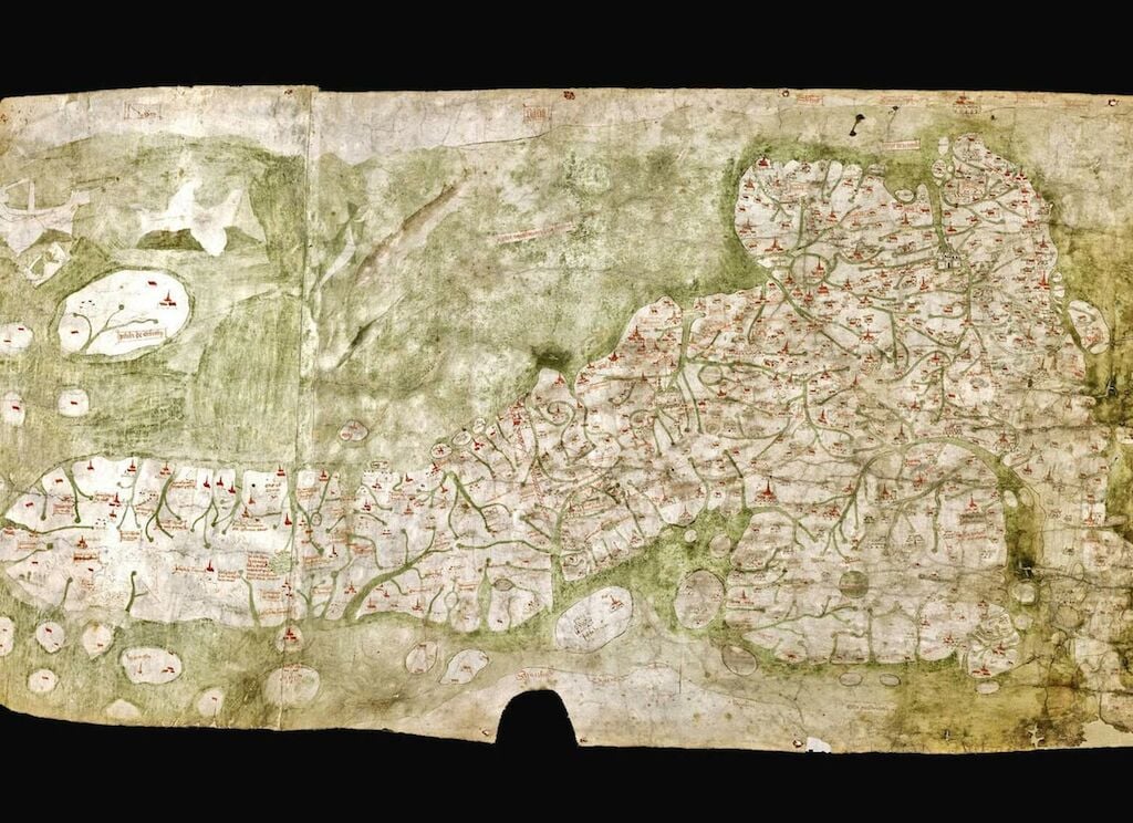
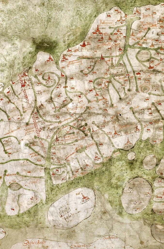
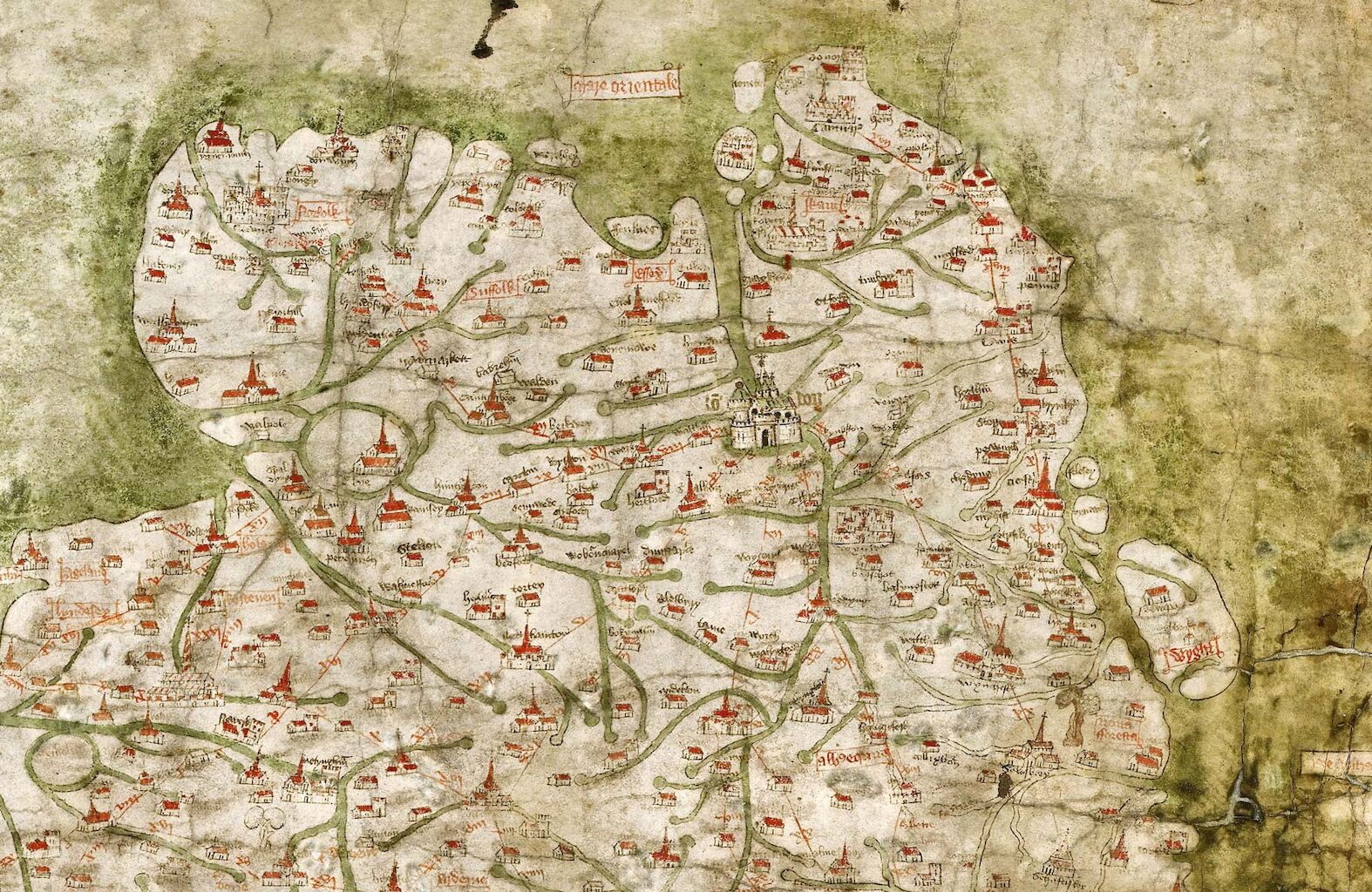
The Gough Map, one of the great medieval treasures of cartography, arrived at the Bodleian Library in 1809 as part of Richard Gough’s bequest, an eighteenth-century antiquary and expert on British Topography. Richard Gough acquired it for half-a-crown on 20 May 1774 at the sale of the collection of Thomas Martin of Palgrave, where it was offered as Lot 405 and described as ‘a curious and most ancient map of Great Britain’. Dated approximately 1360, it is the earliest surviving map to show routes across Britain and to depict a recognisable coastline.
The map, measuring approximately (height) 553mm by (width) 1164mm, is drawn on the flesh-side of two pieces of sheepskin parchment, joined vertically. The lap-join was held together originally with a plain running-stitch, clearly identifiable by sewing-holes and thread-indentations along the join. Indeed, the thread interrupted the application of the green wash which represents the sea, indicating that the sewing was in place before the map was painted. The two parchments are now joined by adhesive only. The left-hand skin, seen in transmitted light, has the anatomical features of what appears to be the backbone and ribcage of a lamb.

