Frontiers of the Roman Empire: The Antonine Wall
2,000 years ago, the Antonine Wall was the most northerly frontier of the Roman Empire, running for 37 miles from modern Bo’ness on the Firth of Forth to Old Kilpatrick on the River Clyde. At the time, the wall was the most complex frontier ever constructed by the Roman army. Built on the orders of the Emperor Antoninus Pius the wall was both a physical barrier and a symbol of the Roman Empire’s power and control.
What makes this UNESCO Designation special?
The Antonine Wall is part of a frontier system that stretched across Europe, North Africa and the Middle East, reflecting the development and breadth of Roman military architecture and power. The Frontiers of the Roman Empire World Heritage Site is currently made up of the Antonine Wall, along with Hadrian’s Wall and the Roman Limes in Germany.
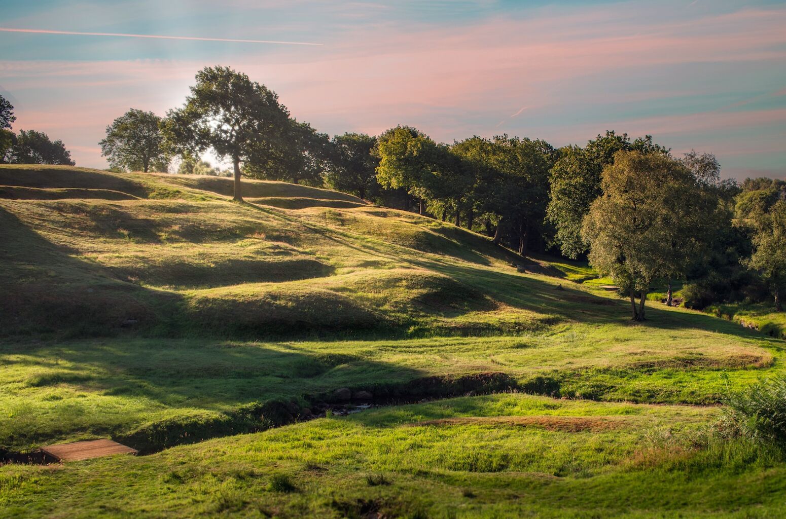
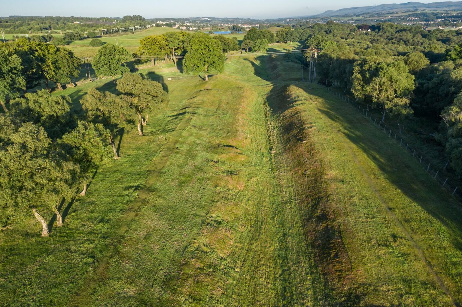
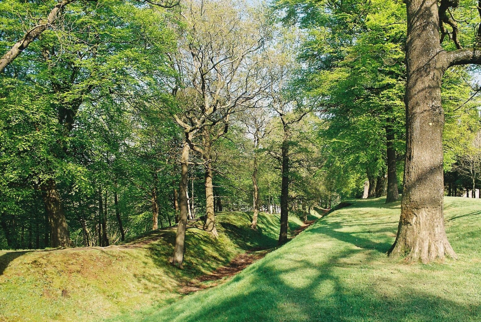
The last of the linear frontiers built by the Romans after AD 140, it was only occupied for about a generation before being abandoned in the AD 160s. Never a stone ‘wall’, it was a turf rampart fronted by a wide and deep ditch. Forts and fortlets built along the Wall provided accommodation for frontier troops and acted as secure crossing points to control the movement of people. Behind the rampart ran a road known as the Military Way.
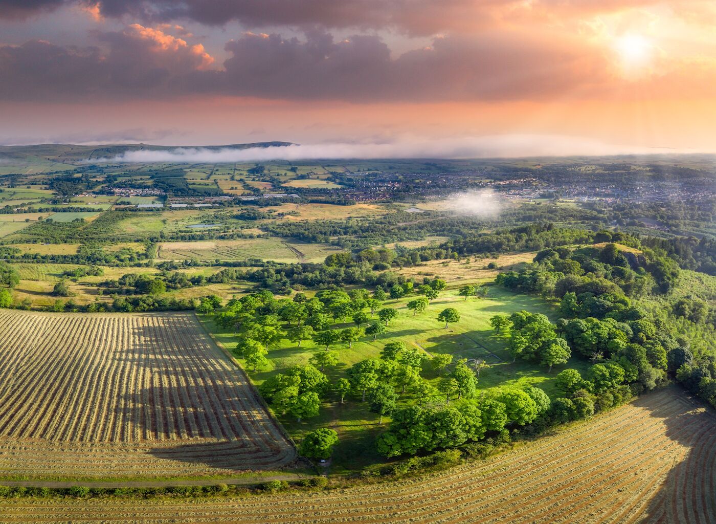
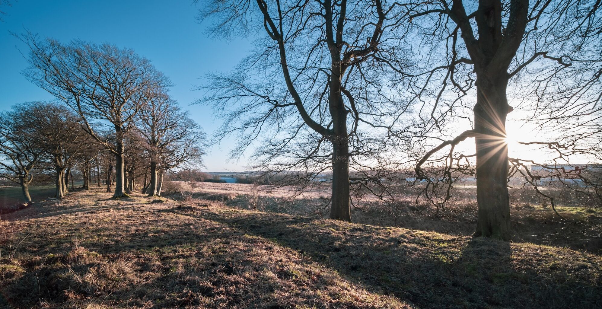
Over time, the industrial and commercial heartland of Scotland grew around it yet, unbelievably, one-third of its total length is still visible today. Well-preserved sections of rampart, ditch and Military Way are found at Croy Hill and Seabegs, forts are visible at Bar Hill and Rough Castle, and Roman baths survive at Bearsden and Bar Hill. Archaeological excavations have demonstrated that much else survives beneath fields and urban areas. Museums along the route display personal artefacts, gravestones, and distance slabs found along the Wall.

